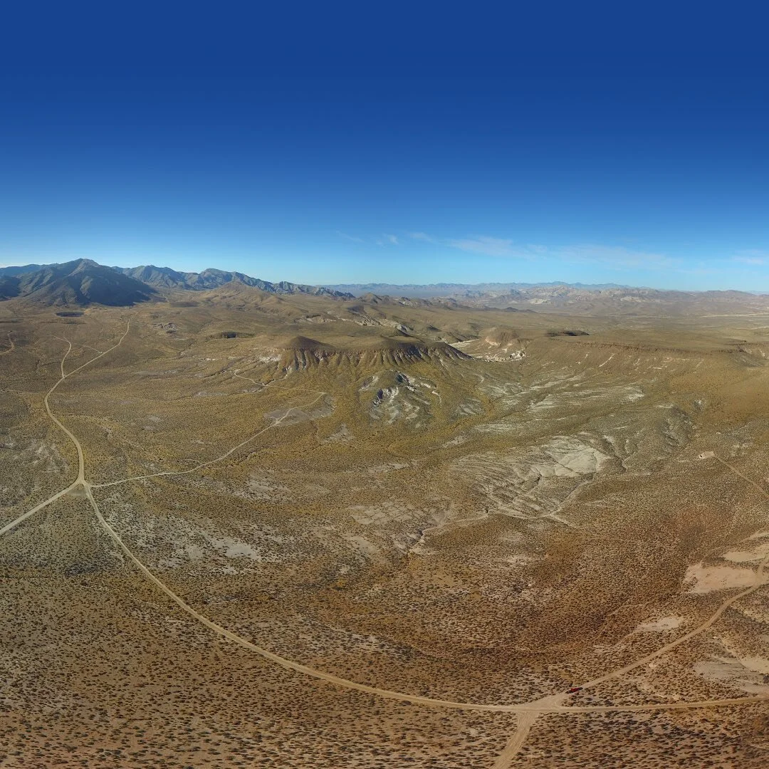
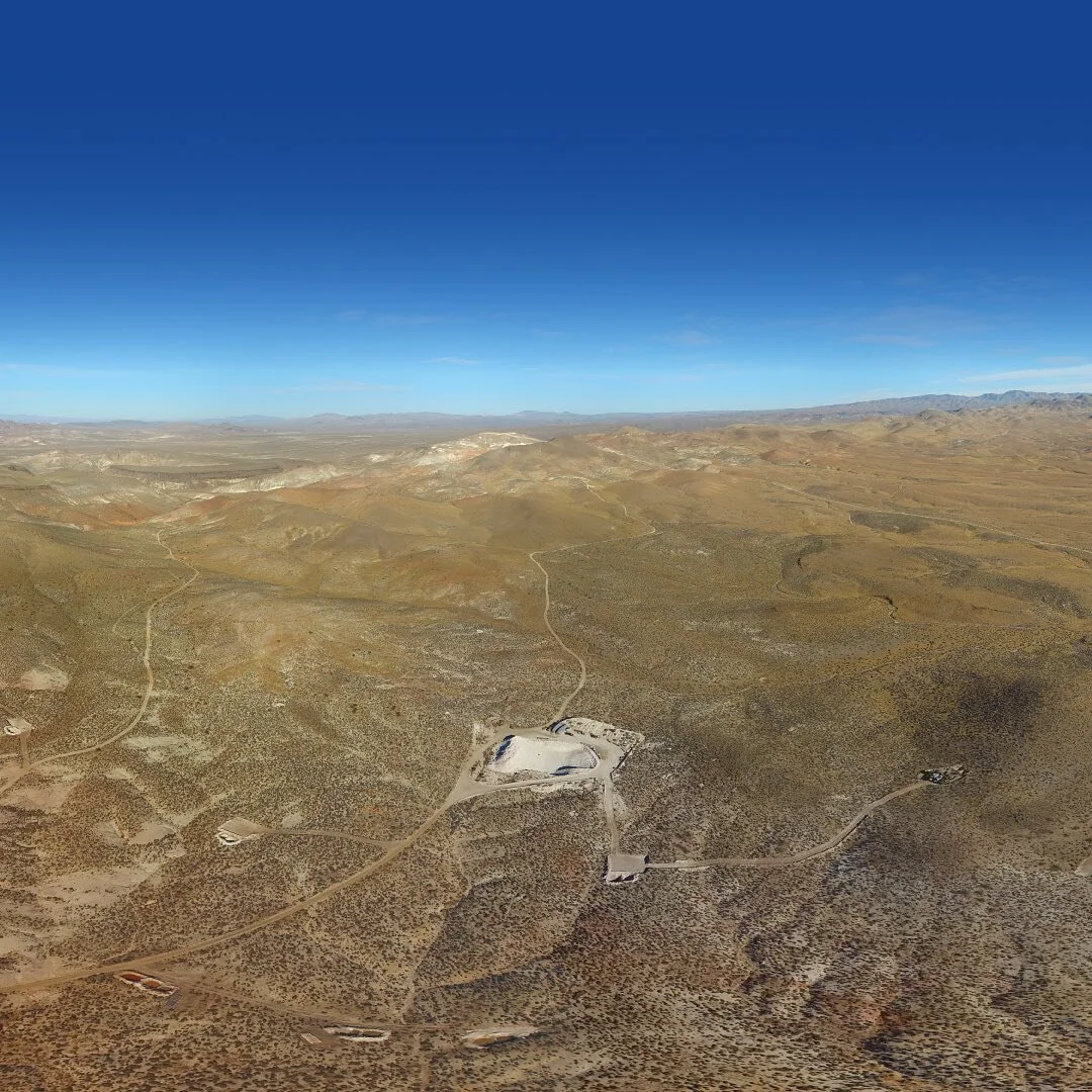
Through aerial video, graphic design and GIS, we create a story and picture of your project that will capture the attention of your audience. Ellis Park Media can produce a custom look and style which is unique to your company. With our unmanned aerial vehicles (UAVs) and expertise in GIS, remote sensing and high precision surveying, we offer highly accurate aerial video and imagery, digital elevation models, 3D measurements and calculations.
High Precision Surveying

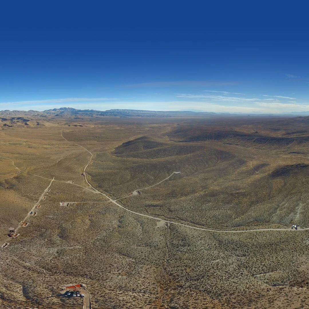
Our UAV is equipped with a GPS enabled 4K camera, enabling us to 3D map terrain or buildings with a resolution up to 3cm, providing stunning video, high resolution orthomosaics and oblique imagery, digital elevation models and 3D measurements and calculations.
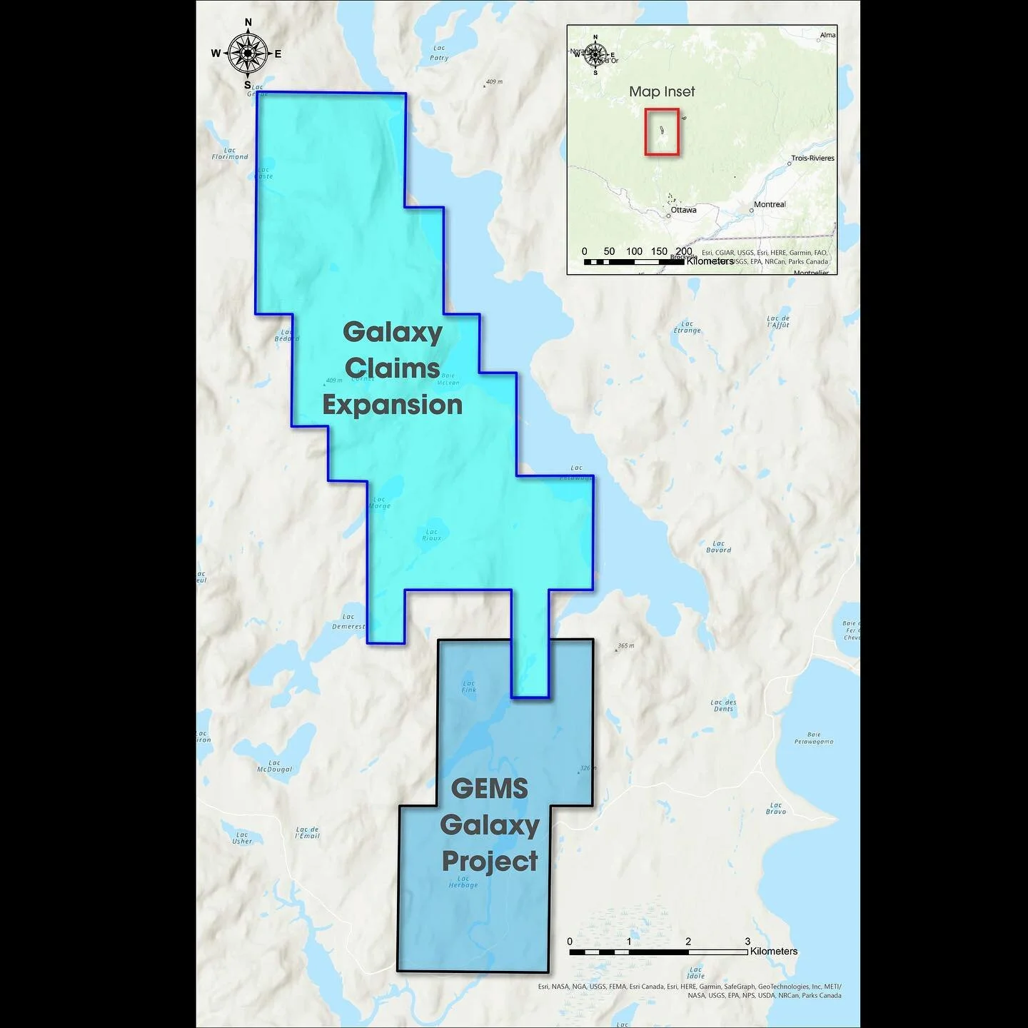
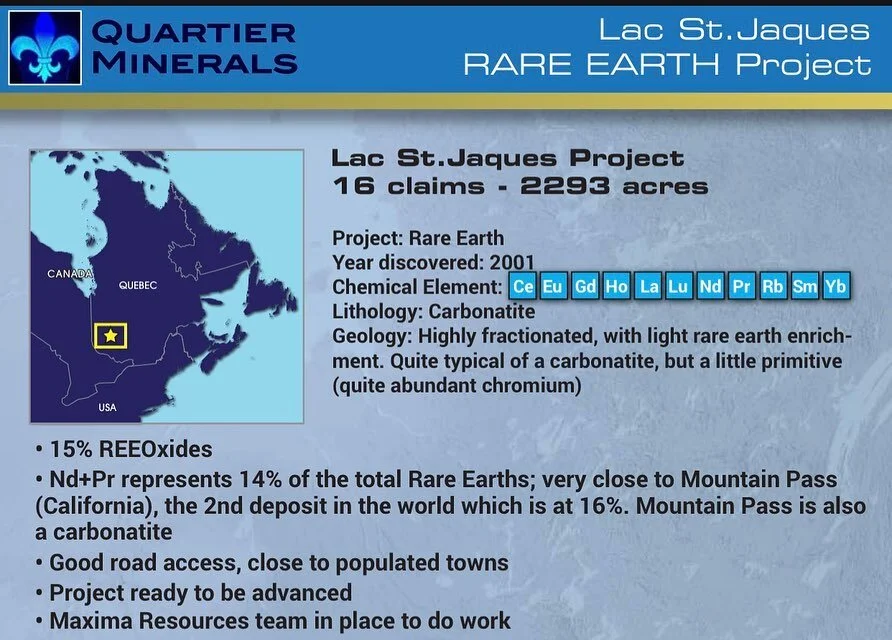
Mapping/GIS/Graphic Design

Photo Credit: ms.akr
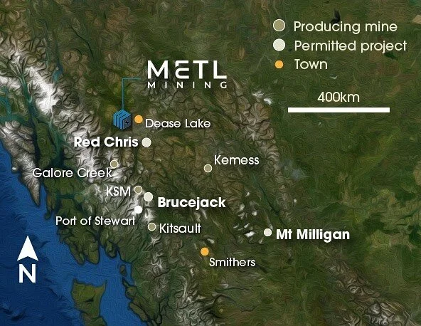
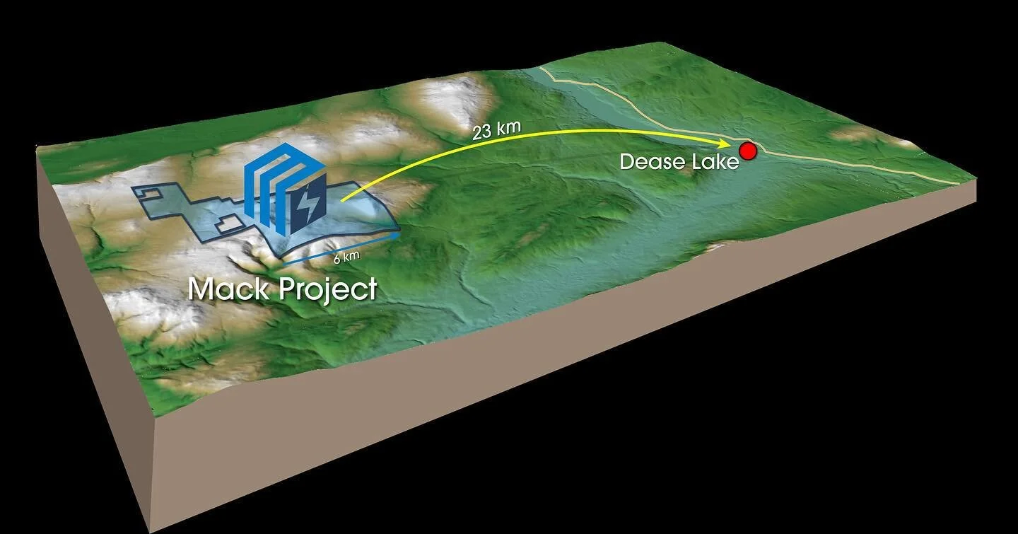
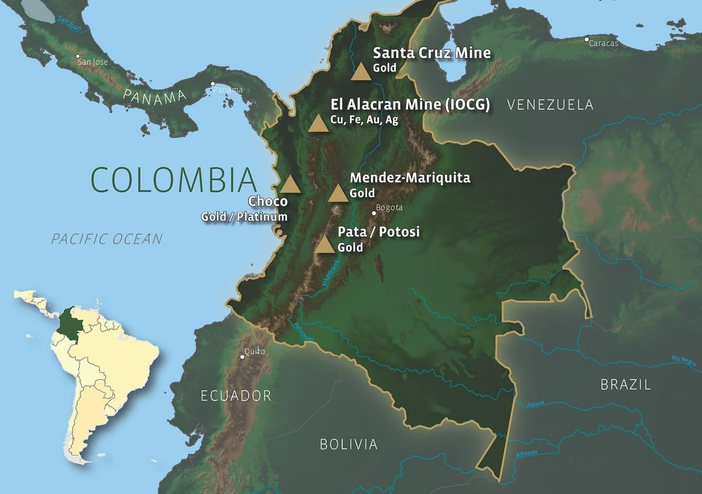
We present your geospatial data for visualization on technical figures such as cross-sections or beautifully designed maps for your presentation purposes.
UAV Video Production

Our unique creativity in conception of a story and style is what sets us apart from the competition. Our technical expertise and basic understanding of NI43-101 standards and regulation allows us to create a product with little to no instruction, supervision and revisions.