Ellis Park Media
  • Home
  • UAV Films and Animation
  • Maps
  • Aerial Imagery
  • 360 degree Images
  • Testimonials
  • About
  • Contact
Ellis Park Media
  • Home/
  • UAV Films and Animation/
  • Maps/
  • Aerial Imagery/
  • 360 degree Images/
  • Testimonials/
  • About/
  • Contact/
EPM_cards_v5 Feb 2016-04.jpg
Ellis Park Media

Experts in Data Visualization

Aerial Imagery

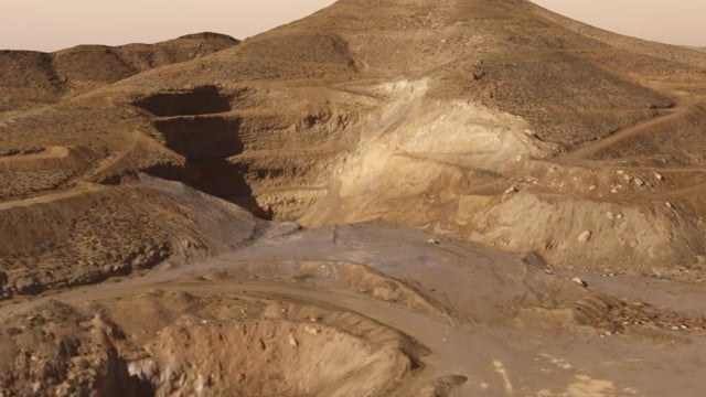
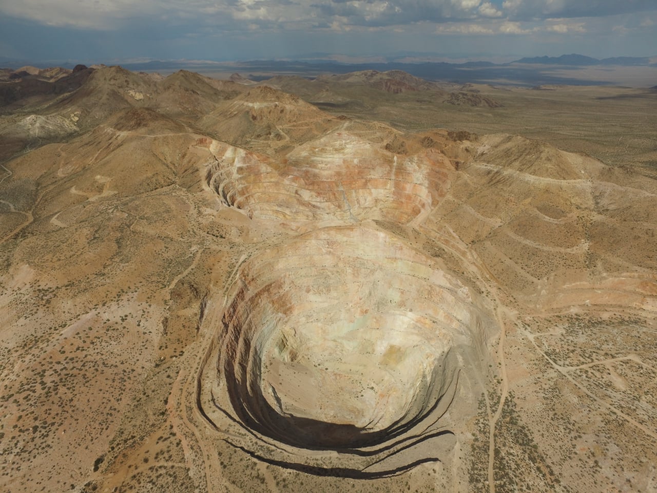
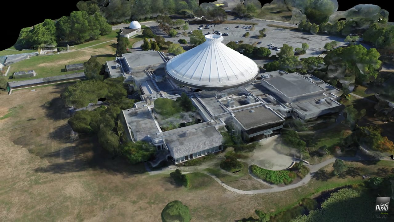
Our UAV is equipped with a GPS enabled 4K camera, enabling us to 3D map terrain or buildings with a resolution up to 3cm, providing stunning video, high resolution orthomosaics, oblique imagery and digital elevation models.

Ellis Park Media
  • Home/
  • UAV Films and Animation/
  • Maps/
  • Aerial Imagery/
  • 360 degree Images/
  • Testimonials/
  • About/
  • Contact/
DJI_0306.JPG
DJI_0698.JPG
DJI_0508.JPG
1 2 3 4 5 6
Previous Next
Sterling Pits 3D Model
Castle Mountain Mine
HR MacMillan Space Centre
DJI_0306.JPG
DJI_0698.JPG
DJI_0508.JPG

Powered by Squarespace